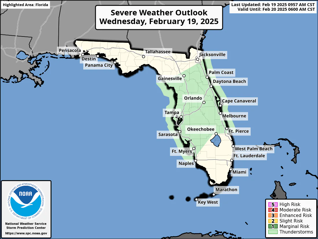
ORLANDO, Florida — A cold front approaching Central Florida will bring widespread rain, isolated thunderstorms, and gusty winds on Wednesday, February 19, 2025, according to the National Weather Service’s Storm Prediction Center.
Expect isolated thunderstorms over offshore coastal waters Wednesday morning. By mid to late afternoon, a band of rain is expected to sweep into Lake County and move southeast along the I-4 corridor. The system will weaken and fragment as it progresses eastward through the evening.
While embedded thunderstorms are possible within this rain band, the likelihood of lightning remains low, with a 10-20% chance. Should storms develop, the primary concerns will be wind gusts reaching up to 40 mph, occasional cloud-to-ground lightning, and heavy downpours.
Central Florida’s Atlantic beaches have a moderate risk of life-threatening rip currents..
The day’s forecast includes a slight chance of showers before 3 p.m., followed by an increasing chance of showers and thunderstorms between 3 p.m. and 4 p.m. After 4 p.m., showers are likely, with the potential for a thunderstorm. Expect mostly cloudy skies and a high near 80°F.
Copyright 2023-2025 FloridaWord.com

