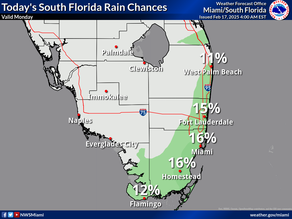
South Florida

Dangerous Rip Currents, Isolated Showers For South Florida

, Florida — will experience mild and pleasant conditions this week as a weak front stalls to the south, according to the National Weather Service (NWS) in Miami. While most of the region will remain dry, a few isolated showers may develop, particularly over the Atlantic waters and southeastern Florida on (Monday, February 17, 2025).

The high temperature for Monday is expected to be near 76°F, with northwest winds at 7 to 11 mph, shifting northeast in the afternoon.

Rip Current Risk Along Atlantic Coast

Beachgoers should exercise caution, as faces a high risk of rip currents, while Miami-Dade and Broward counties have a moderate risk. The elevated rip current threat is expected to continue along the Atlantic Coast beaches through the early part of the week.

South Florida Forecast: February 18–23, 2025

  • Tuesday: A 20% chance of showers; partly sunny with a high near 77°F. East wind 7 to 10 mph.
  • Tuesday Night: A 20% chance of showers before 1 a.m.; mostly cloudy with a low around 73°F. East wind around 9 mph.
  • Wednesday: Partly sunny with a high near 79°F. Southeast wind 10 to 13 mph, with gusts up to 18 mph.
  • Wednesday Night: Mostly cloudy with a low near 69°F. West wind 7 to 9 mph.
  • Thursday: Partly sunny with a high near 77°F. Northwest wind 9 to 13 mph, shifting north in the afternoon.
  • Thursday Night: Partly cloudy with a low around 64°F. North wind 15 mph, with gusts up to 20 mph.
  • Friday: Partly sunny with a high near 72°F. Northeast wind 14 mph, with gusts up to 18 mph.
  • Friday Night: Mostly cloudy with a low around 67°F.
  • Saturday: Mostly cloudy with a high near 74°F.
  • Saturday Night: A 20% chance of showers; mostly cloudy with a low near 68°F.
  • Sunday: A 30% chance of showers; mostly cloudy with a high near 75°F.

Contact Us    Privacy Policy

Copyright 2023-2025 FloridaWord.com