King Tides Flooding, Heat Advisory, Thunderstorms For South Florida
MIAMI, Florida - Minor coastal flooding associated with enhanced astronomical tides (King tides) during September's Full Moon will be possible from Sunday morning through at least Wednesday afternoon for Palm Beach, Broward, and Miami-Dade counties, according to the National Weather Service in Miami.
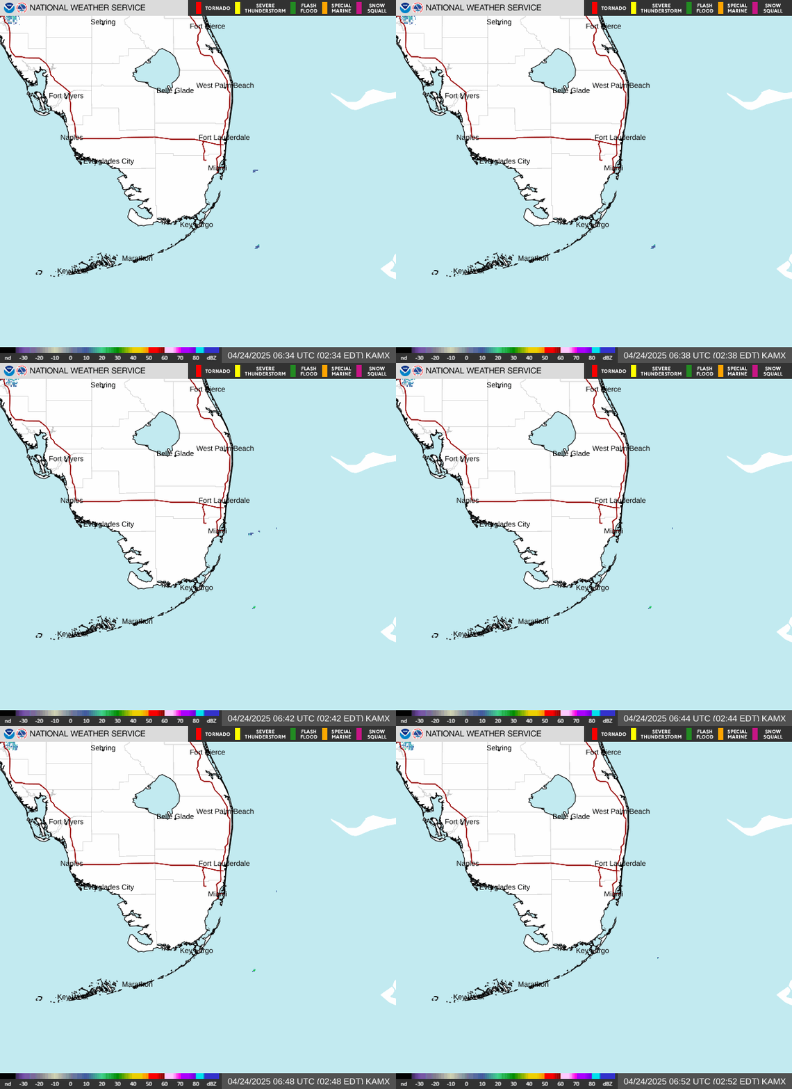
There is also the potential of waterspouts across South Florida waters today.
Tuesday through Sunday
Scattered thunderstorms will be possible daily, with primary threats of gusty winds, frequent lightning, and heavy downpours.
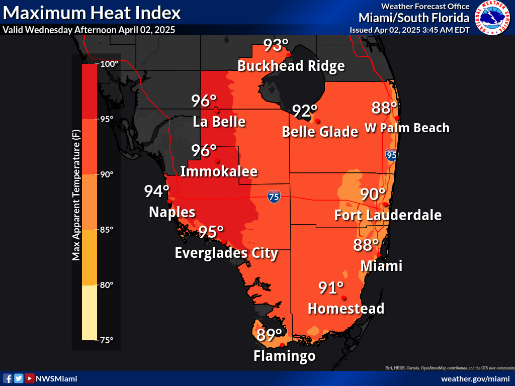
Peak heat index values will remain near 105 degrees through the early week period.
There will be an elevated risk for rip currents for the Atlantic beaches through the early week period as high amplitude northerly swell moves into the area.
Minor coastal flooding will also be possible during high tide cycles through mid-week due to the enhanced northerly swell and king tides.


