MIAMI, Florida – Scattered thunderstorms will develop this afternoon, with the highest chances over the interior and Southwest Florida on Monday, September 9, 2024, according to the National Weather Service Storm Prediction Center.
These thunderstorms could contain strong wind gusts up to 50 mph, frequent lightning, and heavy downpours.
With slow moving storms containing heavy downpours, there will be the potential for localized flooding mainly over low-lying and poor drainage areas.
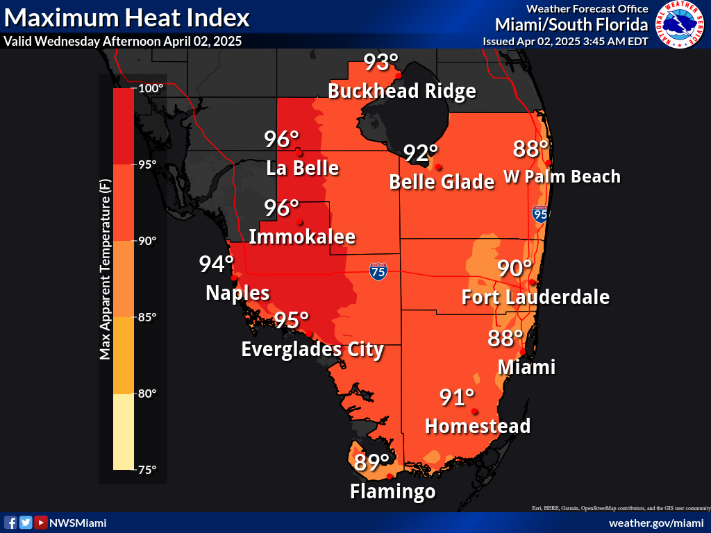
The thunderstorms may bring relief to some areas from the excessive heat where peak heat indices will range between 105 and 109 today.
The National Weather Service in Miami has issued a Heat Advisory that is in effect from 10 a.m. to 6 p.m. for Miami-Dade, Broward, Collier, and mainland Monroe counties.
There is a moderate rip current risk for Miami-Dade, Palm Beach, and Broward counties.
Tuesday through Sunday
Scattered to numerous thunderstorms will be possible each day through the period. Some storms could become strong with threats of gusty winds, frequent lightning and heavy downpours.
Multiple rounds of heavy downpours could create the potential for localized flooding especially across the metro areas along the east and west coast during the early to middle portions of the week.
The risk for rip currents will remain elevated for the Atlantic beaches this week as onshore flow persists.
Peak heat index values may remain elevated and may reach advisory level criteria at times throughout the forecast period.
Copyright 2023-2025 FloridaWord.com