
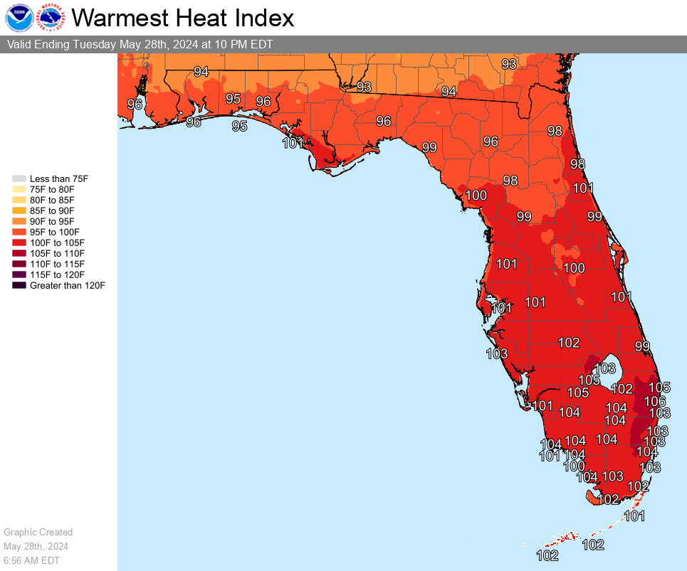
Excessive heat and strong to severe thunderstorms are forecast across Florida on Tuesday, May 28, 2024.
The southern half of the Florida peninsula may see peak heat indices in excess of 100 degrees and approaching 105 degrees this afternoon.
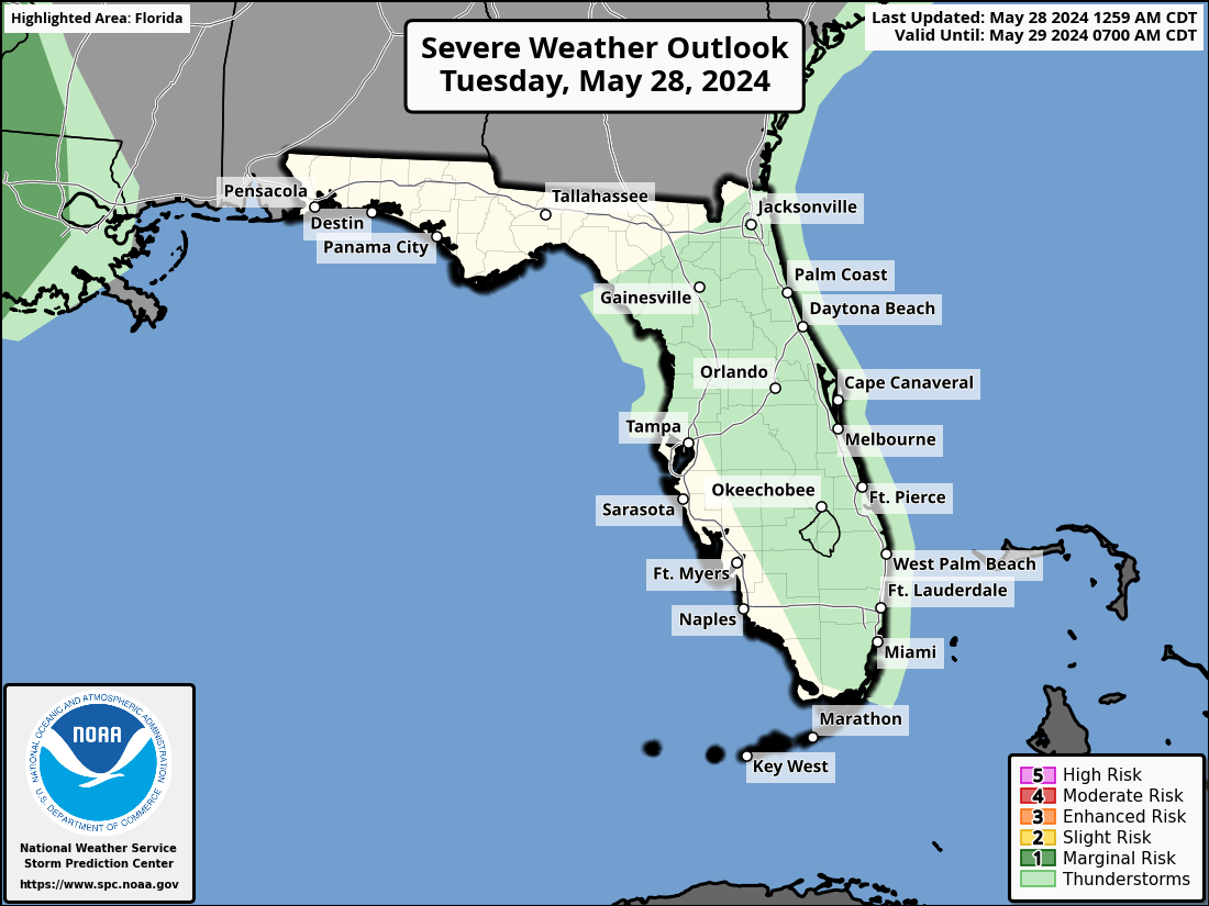
If you plan on driving through the Sunshine State today, thunderstorms will be possible across Florida this afternoon, with the highest chances for severe thunderstorms in the Florida Peninsula.

The greatest chance for strong thunderstorms is over the eastern half of the Peninsula in South Florida.
The strongest storms could contain heavy downpours, small hail, frequent lightning, and gusty winds.
Good morning!
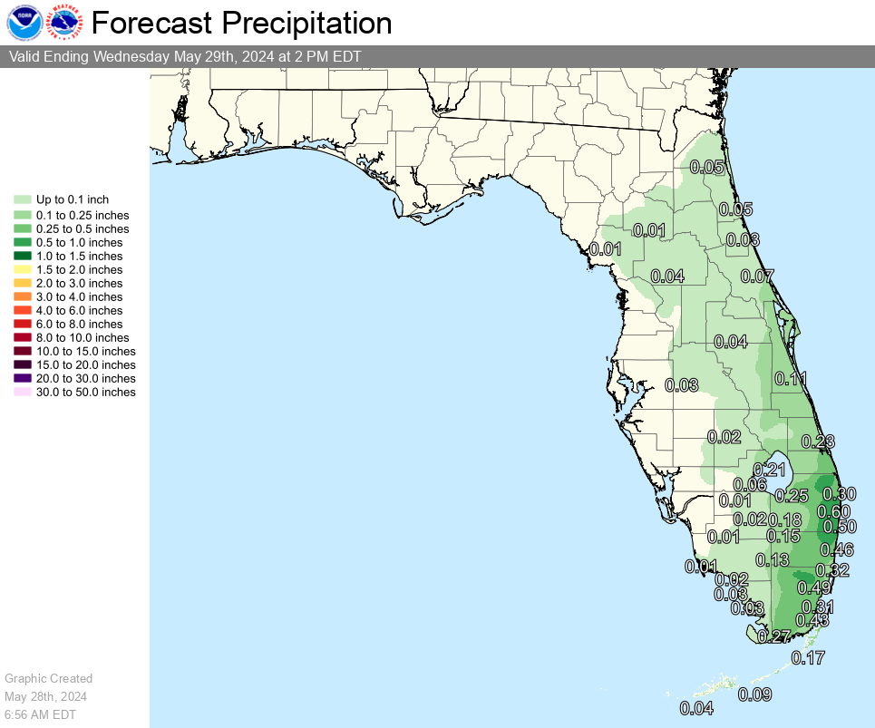
The heat and humidity will stay with us yet again today, but there may be some relief later this afternoon for (primarily) the east coast as showers and thunderstorms develop.
These storms will be capable of heavy rain, gusty winds, and small hail.#Flwx pic.twitter.com/ZU4MBqVjEc
— NWS Miami (@NWSMiami) May 28, 2024